
 This is a very data-rich book. It is a fine introduction to electronic charting and navigation for those new to the topic. More experienced users will find it useful as a reference book on the currently available applications, or to look up details on instrumentation, formats or data transfers between different devices.
The first part of this book addresses the question “What is E-Charting?” In the introduction section, the authors do a nice job of summarizing the history of “Global Position Finding,” the development of paper charts, and the evolution to digital chart formats.
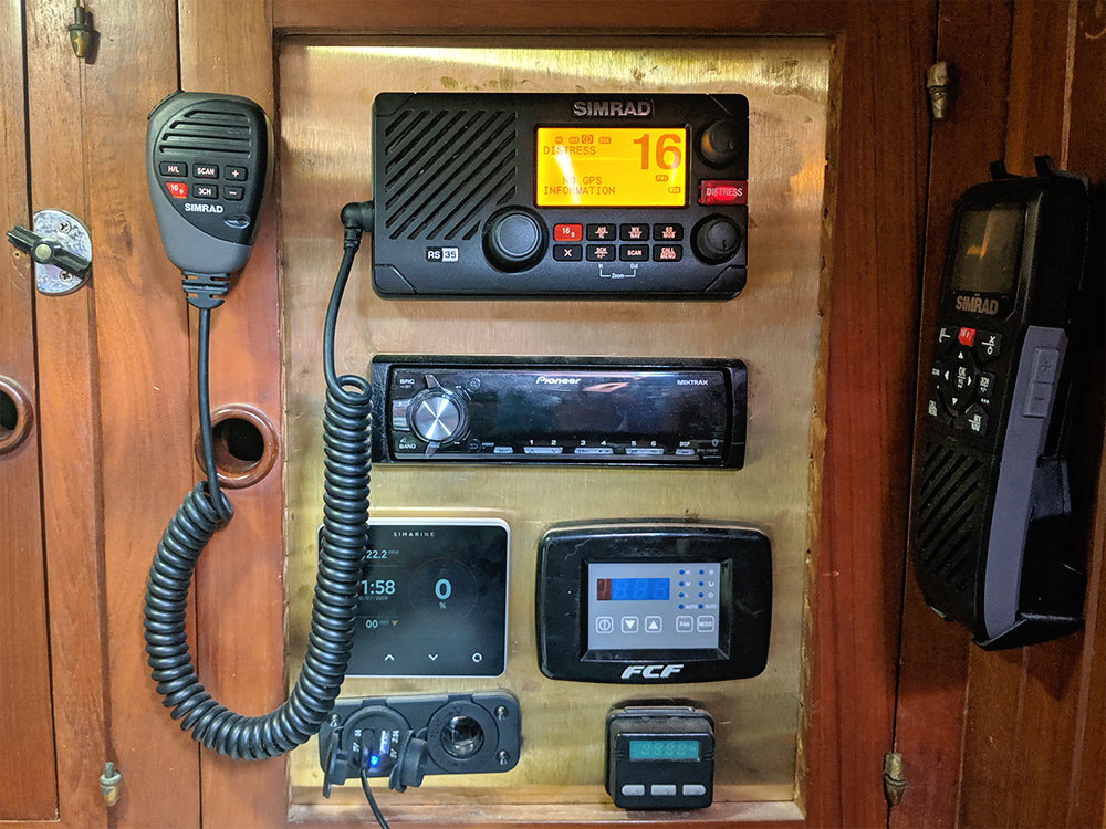
Part two delves into the basic components of any E-charting systems — hardware, sensors, chart database and application software. Once again, the authors begin with a clearly written introduction that covers the key issues. Then they go into considerable detail that is useful even to very experienced users.
If you are hesitant to give E-charting a try, then the third section of this book might be just what you need to see how E-charting could enhance your cruising and navigation experience. Chapter 10, “Putting It All Together,” features seven scenarios showing how various aspects of E-Charting can be used by boaters ranging from a kayaker to the captain of a large yacht. Part three also includes a lot of useful details on data transfer and how to deal with different data formats.
Part four,” Choosing an Application,” is the longest section of the book. It features a critical review of 16 applications — one chart viewer, one “Planner-Plus,” 12 full-featured applications for PCs and two more for Macs. Generous use of tables of attributes helps the reader compare and contrast the various options.
Mark and Diana subtitled their book “The Complete Reference Guide to Electronic Charting and PC-Based Marine Navigation.” This is a fair characterization. They write with the assured confidence of experienced users of all these applications.
Get Onboard With E-charting by Mark and Diana Doyle (Semi-local productions, 2008; 232 pages)


