
Managing the Waterway authors Mark and Diana Doyle were intercepted by inland waterway patrols for “suspicious behavior” aboard their 22-foot pilothouse C-Dory while creating this new and improved addition to the popular cruising guide series. Questions raised by leisurely wending, inexplicable weaving, and close-up picture-taking in and around the channels are answered in this exhaustively comprehensive, well-illustrated volume that is actually three guides within a guide: a preparation and planning section that contains fascinating natural and historical highlights and river trivia; a mile-by-mile cruising guide; and an annotated chart guide for the 580-mile transit of the Illinois, Mississippi, and Ohio rivers from Chicago, Illinois, to Paducah, Kentucky. Organized with a nod to Maslow’s “Hierarchy of Needs,” the Doyles proceeded on the premise of working up the “Cruiser’s Triangle,” prioritizing safety first, followed by planning and, finally, appreciation of natural and man-made resources along the journey.
Issued just in time for the yearly migration of snowbirds and America’s Great Loopers, Volume 1 is the debut of enhancements in design, including color icons that allow for quick location of marinas, anchorages and other essentials. Guide favorites, including a top-of-each-page “heads-up” list of vital safety info such as upcoming locks, bridges, and barge-fleeting areas, remain a staple. Of particular note are the “documentary-style” photos liberally sprinkled throughout, which are extremely helpful to mariners in visually identifying approaches to the correct facility or landmark while piloting the often deceptive rivers.
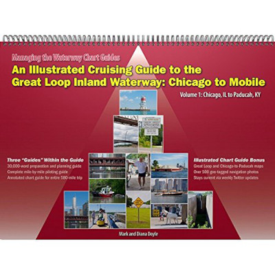
The lay-flat spiral-bound, 168-page, three-pound guide includes 180 GPS waypoints, 548 photos and illustrations, 182 bridge and lock listings, and 309 websites and phone numbers.
As the Doyle’s note, “The best way to outwit chart gaps and discrepancies is to use several different sources of cartography. Use paper and electronic, raster and vector, and government and private. Most important, keep an eye on the water!” The seven official chart books covering the route from Chicago, Illinois, to Mobile, Alabama, while essential, are dauntingly primitive due to the nature of the rivers. Season-to-season, sometimes hour-to-hour, depth levels fluctuate, buoys drown, currents vary, and lock/bridge schedules are altered. To assist in immediate tracking of changing conditions, each geographic region in the MTW series, including the new Chicago to Paducah guide, is now updated using Twitter feeds via e-mail, Web, RSS feed or SMS text. Finally, a valid reason to Tweet!
An Illustrated Cruising Guide to the Great Loop Inland Waterway:Chicago to Mobile (Vol 1: Chicago to Paducah, KY) by Mark amd Diana Doyle, Semi-Local Publications Llc; ; 2010; 168 Pages)


